Bluff Series : Mastering Arcgis 10.8.2
Published 9/2024
MP4 | Video: h264, 1920x1080 | Audio: AAC, 44.1 KHz
Language: English | Size: 4.52 GB | Duration: 8h 35m
Mastering ArcGIS Desktop 10.8.2, from beginning to full understanding of GIS software for your GIS career
[b]What you'll learn[/b]
Exploring ArcCatalog and ArcMap as Member ArcGIS App Suite
Navigating And Managing Spatial Data with ArcCatalog and ArcMap
Add Online basemap like OpenStreetMap, World Road, Terrain, etc
Georeferencing Rasters
Digitizing Vector Data
Designing Layout
[b]Requirements[/b]
No need GIS experience before, just require simple operating Microsoft Windows
[b]Description[/b]
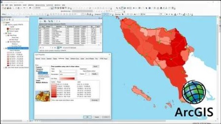
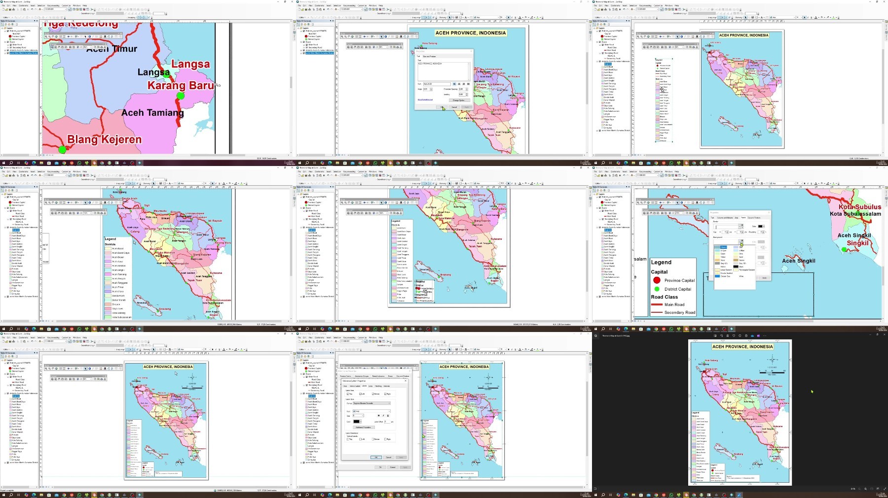
Mastering ArcGIS Desktop 10.8.2 provides an introduction to using ArcGIS Suite App (ArcCatalog and ArcMap), a leading GIS software in the world for spatial data analysis and mapping. This training is designed for beginners who want to develop skills in GIS, with no prior experience required.Participants learn the fundamental concepts of GIS, such what is GIS, definition of GIS, GIS data type, map projections. The training covers the ArcCatalog and ArcMap interface, including how to navigate the data view, layout view, use toolbars, and manage layers. Students are introduced to working with vector and raster data, including importing, visualizing, and performing basic data manipulation. Also how to georeferencing raster data.Hands-on exercises guide participants through creating and editing shapefiles, applying symbology to represent data meaningfully, and using attribute tables for data analysis, also creating thematic and choropleth map. Participants will gain practical experience in creating a layout map by adding legends, scale bars, and exporting the final product for printing or sharing it with JPG or PDF format.By the end of the training, participants will have a solid understanding of ArcGIS Suite App (ArcCatalog and ArcMap) , enabling them to perform simple spatial analysis tasks and create professional-looking maps. This foundational knowledge sets the stage for more advanced GIS techniques and applications.
Overview
Section 1: Big Picture of the Course - GIS Introduction
Lecture 1 Big picture of the course
Lecture 2 GIS Intro - What is GIS?
Lecture 3 GIS Intro - GIS data type
Lecture 4 GIS Intro - Map Projection
Section 2: ArcCatalog: A Brief
Lecture 5 ArcCatalog interface
Lecture 6 Arccatalog Metadata/Description
Lecture 7 Navigating spatial data in ArcCatalog
Lecture 8 Create layer files in ArcCatalog
Lecture 9 Exporting to other format
Section 3: ArcMap: Interface, Projects and Basic Navigation
Lecture 10 ArcMap interface
Lecture 11 Add spatial data and creating project file
Lecture 12 Working with rasters
Lecture 13 Create layer file
Lecture 14 Navigating spatial data
Section 4: ArcMAp: Mananging Data Spatial
Lecture 15 Open MXD project file from several ways
Lecture 16 Table of Content (TOC)
Lecture 17 Add online basemap into data view
Lecture 18 Deeper into attribute table
Section 5: ArcMap: Processing Data Spatial
Lecture 19 Create a layer file from attribute Selection
Lecture 20 Create new layer with Select by attribute and save it to a layer file
Lecture 21 Duplicate layers, grouping and query
Lecture 22 Handling error loading mxd When shp missing or moved
Lecture 23 Convert shp file from GCS into UTM
Lecture 24 MXD absolute path VS MXD relative path
Lecture 25 Create new field and fill data with field calculator
Lecture 26 Create new field and calculate area, length and coordinate
Section 6: ArcMap: Thematic Maps and Choropleth Maps
Lecture 27 Create thematic map - Symbology and labeling layer
Lecture 28 Labelling with expression
Lecture 29 Create choropleth map
Section 7: ArcMap: Georeferencing Rasters
Lecture 30 Preparing ungeoreference raster
Lecture 31 Georeferencing raster data Decimal Degree (DD)
Lecture 32 Georeferencing raster data Degree Minutes Second (DMS)
Lecture 33 Georeferencing raster data without grid coordinate information
Section 8: ArcMap: Digitizing Feature
Lecture 34 Export raster from online basemep (OSM)
Lecture 35 Create a new shp with polygon feature and digitize
Lecture 36 Create a new shp with polyline feature and digitize
Lecture 37 Create a new shp with point feature and digitize
Section 9: ArcMap: Designing Layout
Lecture 38 Introduction of layout tools (tool and layout tools)
Lecture 39 Insert layout elements and setting a paper size for thematic map
Lecture 40 Insert layout elements and setting a paper size for choropleth map
GIS Beginners who want to start their GIS career or to expand existing one

https://ddownload.com/glagyb3592qj/Udemy_Bluff_Series__Mastering_ArcGIS_10_8_2.part1.rar
https://ddownload.com/p4iwvuvg03sl/Udemy_Bluff_Series__Mastering_ArcGIS_10_8_2.part2.rar
https://ddownload.com/45dc7ys51pc8/Udemy_Bluff_Series__Mastering_ArcGIS_10_8_2.part3.rar
https://rapidgator.net/file/81af46a87f8e43ef518db6a29dfa65e8/Udemy_Bluff_Series__Mastering_ArcGIS_10_8_2.part1.rar
https://rapidgator.net/file/c2d7129fce7bf0a601bad3d5c6e2307b/Udemy_Bluff_Series__Mastering_ArcGIS_10_8_2.part2.rar
https://rapidgator.net/file/2b7f62290790e5c59c0b16ec0701ccf4/Udemy_Bluff_Series__Mastering_ArcGIS_10_8_2.part3.rar
https://turbobit.net/1kyrcjkjhuss/Udemy_Bluff_Series__Mastering_ArcGIS_10_8_2.part1.rar.html
https://turbobit.net/zbhi9tl4sybh/Udemy_Bluff_Series__Mastering_ArcGIS_10_8_2.part2.rar.html
https://turbobit.net/dfv5bus2756v/Udemy_Bluff_Series__Mastering_ArcGIS_10_8_2.part3.rar.html

