
2.28 GB | 00:08:56 | mp4 | 1280X720 | 16:9
Genre:eLearning |Language:English
Files Included :
1 -Overview of the Course and Meet the Course Instructor (140.33 MB)
2 -An overview of the course Part 2 (166.77 MB)
3 -Introduction to geographic information systems (86.75 MB)
4 -Definition of Arcgis and Its Parts (60.54 MB)
1 -Introduction to Shapefile (44.75 MB)
1 -Shapefile (1.97 MB)
2 -Analyze Create and Digitize a new Point Shapefile (74.09 MB)
3 -Polyline and Polygon Shapefile (73.1 MB)
1 -11Database servers (322.34 KB)
3 -Link the SQL Server database with ArcMap (50.05 MB)
1 -Selection in ArcMap and its types (Interactive Selection) (62.4 MB)
1 -Selection Options (9.07 MB)
2 -Attributes, Location, and Graphics Selection Types (89.53 MB)
1 -Introduction to Symbology (24.9 MB)
2 -13Symbology(CityInfrastructure) (17.46 MB)
2 -Single Symbol Symbology ( Point, Line, and Polygon Feature) (84.5 MB)
3 -13Symbology(AltamonteCity) (382.17 KB)
3 -Categorical Symbology (62.7 MB)
4 -13Symbology(World CO2 Emissions) (5.59 MB)
4 -Quantitative Symbology (Graduated Colors) (28.43 MB)
5 -Quantitative Symbology (Graduated symbols) (50.24 MB)
6 -13Symbology(TURKIYA ) (3.43 MB)
6 -Graduated Symbols (Normalization) (65 MB)
7 -13Symbology(Africa) (8.02 MB)
7 -Custom Classes and Dot Density (39.56 MB)
8 -13Symbology(TURKIYA ) (3.43 MB)
8 -Proportional and Chart Symbols (67.41 MB)
1 -14map digitization work (2.93 MB)
1 -Definition Digitization and Polygon Digitizing (76.52 MB)
2 -Practice Digitizing a Polygon (90.22 MB)
3 -Digitizing Line and Point Features (102.12 MB)
4 -Using Advanced Editing Tools (87.36 MB)
1 -Georeferencing Part 1 (91.8 MB)
1 -Georeferencing (1.42 MB)
2 -Georeferencing Part 2 (74.85 MB)
1 -16Geoprocessing tools(Buffer) (975.41 KB)
1 -Definition of Geoprocessing and Buffering Tool (41.9 MB)
2 -16Geoprocessing tools(Clip) (4.42 MB)
2 -Clipping Features Tool (36.82 MB)
3 -16Geoprocessing tools (intersect) (1.01 MB)
3 -Intersecting Features Tool (32.91 MB)
4 -16Geoprocessing tools (union) (1.55 MB)
4 -Unioning Features Tool (62.61 MB)
5 -16Geoprocessing tools(Merg and Dissolve ) (7.64 MB)
5 -Merging Features Tool (14.38 MB)
6 -16Geoprocessing tools(Merg and Dissolve ) (7.64 MB)
6 -Dissolving Features Tools (32.25 MB)
1 -17ArcGIS Geodatabases (5.12 MB)
1 -Introduction of a Geodatabase (57.2 MB)
2 -Create Different Types of Feature Classes (52.45 MB)
3 -Geodatabase File Extension (67.67 MB)
4 -The Differences Between a Shapefile and a Geodatabase (57.88 MB)]
Screenshot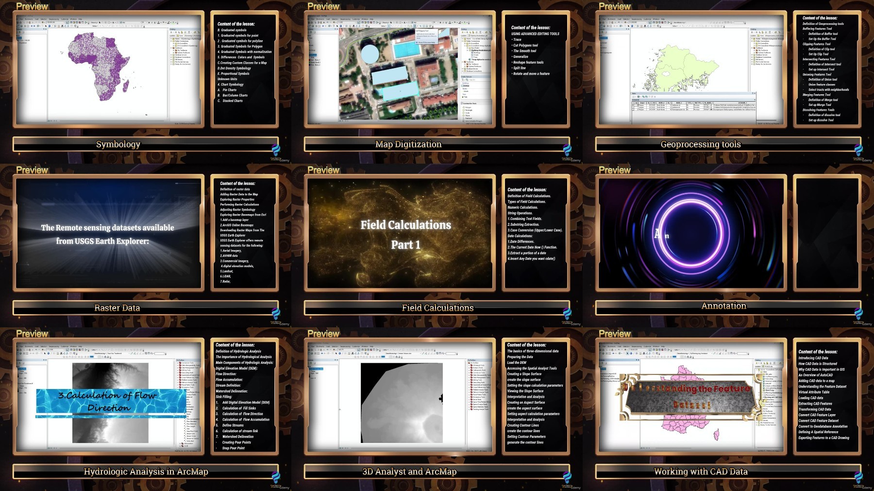
Rapidgator links are free direct download скачать only for my subscriber, other hosts are free download скачать for free users
Fikper
https://fikper.com/lpohEL0FY9/Udemy_ArcGIS_10x_Mastery_Complete_Course_from_Beginner_to_Expert_.part1.rar.html
https://fikper.com/MaPxAUmUVu/Udemy_ArcGIS_10x_Mastery_Complete_Course_from_Beginner_to_Expert_.part2.rar.html
FileAxa
https://fileaxa.com/jczfchnb527c/Udemy_ArcGIS_10x_Mastery_Complete_Course_from_Beginner_to_Expert_.part1.rar
https://fileaxa.com/51u4m5depdpn/Udemy_ArcGIS_10x_Mastery_Complete_Course_from_Beginner_to_Expert_.part2.rar
RapidGator
https://rapidgator.net/file/54633b5a4323386e4e820991e2bb8e1a/Udemy_ArcGIS_10x_Mastery_Complete_Course_from_Beginner_to_Expert_.part1.rar
https://rapidgator.net/file/99f4d978b4801c75ca6cd9d3f13c9c62/Udemy_ArcGIS_10x_Mastery_Complete_Course_from_Beginner_to_Expert_.part2.rar
TurboBit
https://turbobit.net/2alqzwldklms/Udemy_ArcGIS_10x_Mastery_Complete_Course_from_Beginner_to_Expert_.part1.rar.html
https://turbobit.net/edjnuomk9dfs/Udemy_ArcGIS_10x_Mastery_Complete_Course_from_Beginner_to_Expert_.part2.rar.html